Overview
It has long been pointed out that John Gordon Lorimer’s encyclopaedic 5000 page Gazetteer of the Persian Gulf The historical term used to describe the body of water between the Arabian Peninsula and Iran. , Oman and Central Arabia is ‘without peer’, providing ‘a source on subjects as diverse as political narratives, economy, slavery, telegraphs and tribal gazetteers’. Although scholars and researchers mine the content of the Gazetteer – or ‘Lorimer’ as it is simply referred to – for information, often little attention is paid to the colonial context in which that knowledge was produced.
History and Geography
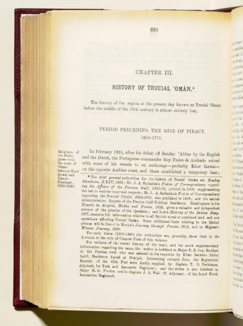
Volume I of the Gazetteer is divided into three parts, with the first two constituting the historical section. Part I, the ‘Arabian portion of the volume’ covers the general history of the Gulf, with further details concerning the Arab littoral, Central Arabia, Oman and Turkish Arabia A term used by the British officials to describe the territory roughly corresponding to, but not coextensive with, modern-day Iraq under the control of the Ottoman Empire. (Iraq). Part II, ‘the Persian section of the work’, covers the history of the Persian littoral of the Gulf, including Arabistan and Makran. In addition, it includes nineteen appendices covering various subjects, ranging from pearl fisheries to the slave trade. It also contains information pertinent to the compilation of the Gazetteer, including a bibliography and the system of transliteration. Of note is Appendix P, ‘Cruise of His Excellency Lord Curzon, Viceroy and Governor-General of India’, which is the official account vice regal tour of various Gulf ports in November and December 1903.
Genealogical Information
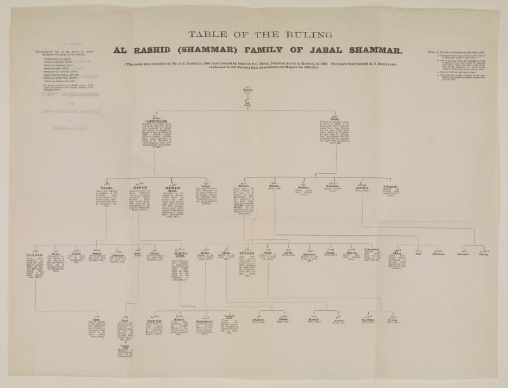
Twenty-one genealogical tables for the ruling families of the Gulf, Oman and Central Arabia are included Part III of Volume I. The tables typically contain named and unnamed individuals, sometimes with brief biographical details, chronological lists of rulers, and notes on their compilation. Generally female members of the ruling families are omitted. These genealogical tables, as the historian Nelida Fuccaro notes, act as a ‘visual reminder how kinship moulded dynastic rule and of the politics of intrigue, murder and warfare which antagonized the various tribal aristocracies’.
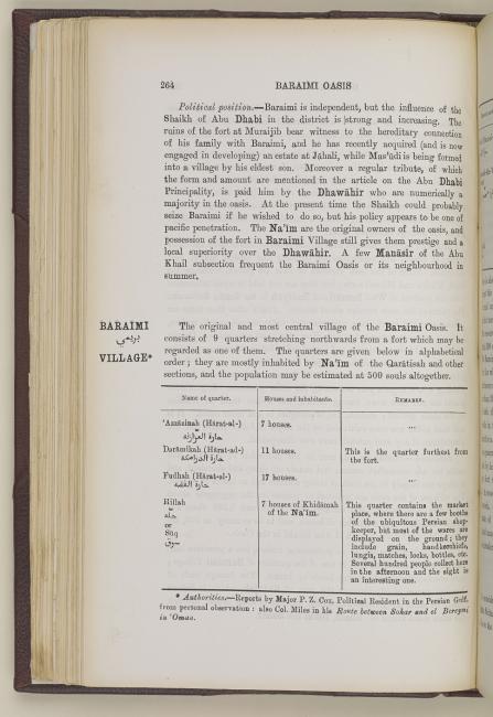
The Gazetteer’s second volume is the ‘Geographical and Statistical’ section and includes entries for tribes, towns and regions, categorised alphabetically, from ‘Abdalilah, ‘a tribe of Trucial Oman A name used by Britain from the nineteenth century to 1971 to refer to the present-day United Arab Emirates. who have 2000 houses at Sharjah Town’, to Zubārah, ‘[a]ruined and deserted town on the west side of the Qatar Promontory’. Tables appear throughout, providing statistical information concerning nomadic and settled populations, divided by religion, sect and race; numbers of boats and houses at different locations; weights and measures; revenues and finances; military and naval resources; and divisions of tribes with their fighting strength.
Cartography and Photography
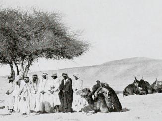
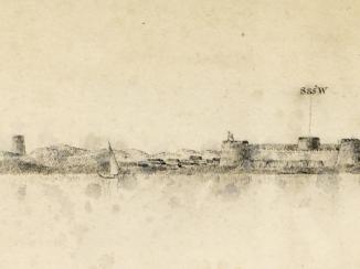
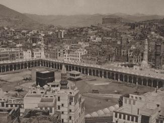
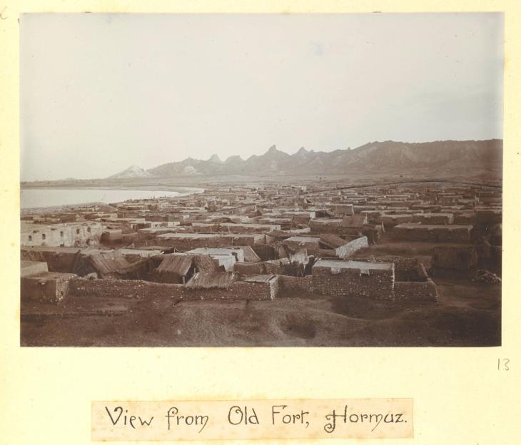
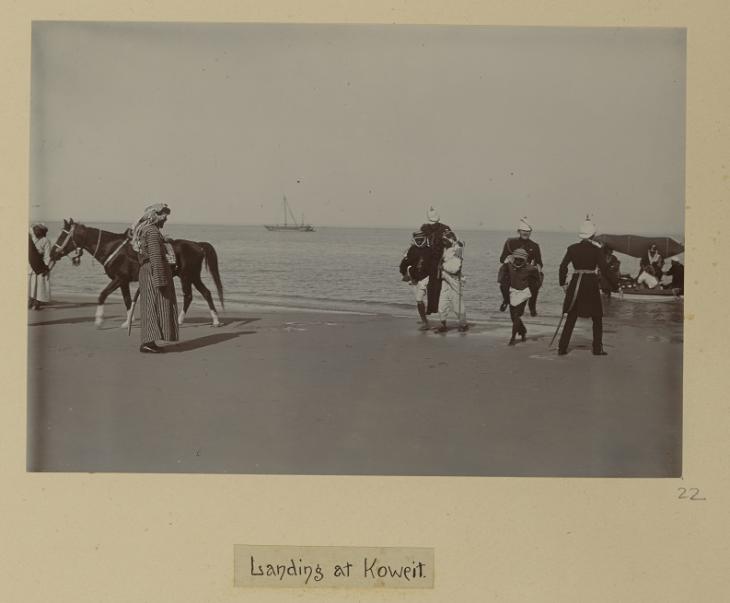
This geographic section of the Gazetteer also contains fifty-six illustrative photographic reproductions of people, rivers, shorelines, oases, buildings and settlements. They were taken by various photographers, including British colonial officers, such as Percy Zachariah Cox and John Calcott Gaskin. There are also photographs taken by the famed German explorer of Arabia, Hermann Burchardt, whose photos are now housed in the Ethnologisches Museum in Berlin. In addition, there are reproductions of photographs by Raja King Deen Dayal and Sons, official photographers to the Viceroy of India, taken from the photographic record of Curzon’s vice regal tour of the Gulf.
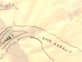
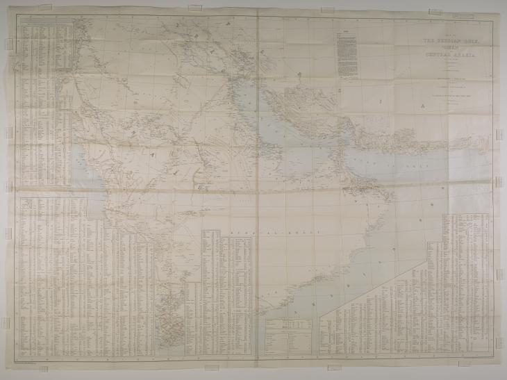
The Gazetteer also includes two maps. One, ‘Chart Showing the Pearl Banks along the Arabian Shore of the Persian Gulf’ is included with the genealogical tables. The other is a huge 131.2 x 181.6 cm ‘Map of the Persian Gulf The historical term used to describe the body of water between the Arabian Peninsula and Iran. , ’Omān and Central Arabia’ which was made by Lieutenant Fraser Frederick Hunter in consultation with Lorimer.
Mapping Empire and Colonial Knowledge
The collation, systematisation and codification of often scattered historical, geographical and statistical information in the form of gazetteers, handbooks, pilots and maps was of vital importance to modern imperialism. As Kristopher Radford and others point out, the Gazetteer has its origins in Curzon’s official tour of the Gulf in 1903, which marked a seminal point in the shift of colonial policy towards treating the Gulf States as closely analogous to Indian Princely states.
In compiling the Gazettteer, Lorimer and his team were required to undertake a project of extensive archival and bibliographic research, surveying, fieldwork, and requests for information and data from colonial representatives and native agents Non-British agents affiliated with the British Government. on the ground. Priya Satia points out that this was the ‘impetus behind the surge of consular touring in the period’. It contributed to the ‘iterative process’, which solidified and networked the community of Political Agents that had emerged as a result of Curzon’s policy of integrating the Gulf with India.
Hunter’s map is also a good example of how this was done. As he recalled, it was an innovative map and challenging to produce: ‘Mr. Lorimer, the draughtsman, and myself spent the winter of 1905–06 in the Foreign Office at Simla – a building designed for summer use. We worked from ten to fourteen hours a day, often in overcoats and mittens, with our inks constantly freezing: good draughtsmanship was difficult.’
Colonial Ideology
The map’s innovation was, however, deeply rooted in colonial ideology. Hunter used the same projection and 32-miles-to-the-inch scale as the Survey of India. This enabled the map to be ‘fitted alongside the map of India, thus giving, at a glance, a map of that portion of the world between Burma and Egypt’. The Gulf, therefore, was placed cartographically and politically within the British Raj, creating, as Nelida Fuccaro puts it, ‘new geographies of rule’. As Felix Driver argues, these were militant geographies as ‘topographical mapping of the empire itself was represented as a device for exercising power’, which enabled Britain to piece together the ‘landscape’s inner propensities’, facilitating imperial control, exploitation and commerce.
Writing in 1996 in Empire and Information, C. A. Bayly remarked that ‘[t]he expansion of knowledge was not so much a by-product of empire as a condition for it’. Indeed, the information found in Lorimer’s Gazetteer was reproduced and reconfigured in countless subsequent colonial reports, policy papers and handbooks. These provided the impetus for further exploration and intelligence-gathering in Arabia and beyond, all of which helped to solidify and extend Britain’s colonial dominance over the Middle East. The impact of this still reverberates loudly today.


