‘Trigonometrical Plan of the Summits of the Quoins & Islands that form what is commonly called Cape Musseldom on the Southern side of the Entrance to the Persian Gulf by P. Maughan, Commander in the H.C. Marine. 1821’
IOR/X/3682


2 items in this record
Search within this record
The record is made up of 1 map. It was created in 1821. It was written in English. The original is part of the British Library: Map Collections.
About this record
- Content
Distinctive Features:
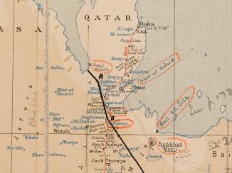
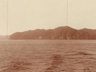
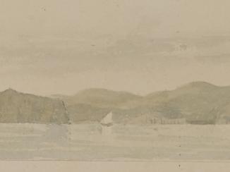
Hand drawn nautical chart of the entrance of the Persian Gulf The historical term used to describe the body of water between the Arabian Peninsula and Iran. compiled from the survey carried out by the Bombay Marine’s officers in 1821. Shows positions of the islands off the shore of the Musandam Peninsula with a network of lines based on survey’s control points inserted on the map.
Includes a descriptive note with remarks on survey execution in the centre right of the sheet.
- Extent and format
- 1 map
- Area map covers
- Map loading...
- Scale
- Scale approximately 1:44,000
- Scale designator
- Horizontal
- Orientation
- South
- Degree coordinates
- Top-left: 26° 31' 4.39" N, 56° 26' 28.41" E
Top-right: 26° 31' 4.39" N, 56° 36' 51.2" E
Bottom-left: 26° 17' 58.46" N, 56° 26' 28.41" E
Bottom-right: 26° 17' 58.46" N, 56° 36' 51.2" E - Physical characteristics
Materials: Pen and ink on paper
Dimensions: 637 x 492 mm, on sheet 745 x 550 mm
- Written in
- English in Latin script
- Type
- Map
Archive information for this record
- Original held at
- British Library: Map Collections
- Access conditions
Unrestricted
- Archive reference
- IOR/X/3682
- Former external reference(s)
- U.VI.35
- Date(s)
- 1821 (CE, Gregorian)
Access & Reference
History of this record
Related search terms
- Places
- Musandam Peninsula
- People & organisations
- Philip Maughan
Use and share this record
- Share this record
- Cite this record in your research
‘Trigonometrical Plan of the Summits of the Quoins & Islands that form what is commonly called Cape Musseldom on the Southern side of the Entrance to the Persian Gulf by P. Maughan, Commander in the H.C. Marine. 1821’, British Library: Map Collections, IOR/X/3682, in Qatar Digital Library <https://www.qdl.qa/node/9657> [accessed 12 August 2026]
- Link to this record
https://www.qdl.qa/en/archive/81055/vdc_100023484122.0x000001
- IIIF details
This record has a IIIF manifest available as follows. If you have a compatible viewer you can drag the icon to load it.https://www.qdl.qa/en/iiif/81055/vdc_100023484122.0x000001/manifestOpen in Universal viewerOpen in Mirador viewerMore options for embedding images
Copyright: How to use this content
- Reference
- IOR/X/3682
- Title
- ‘Trigonometrical Plan of the Summits of the Quoins & Islands that form what is commonly called Cape Musseldom on the Southern side of the Entrance to the Persian Gulf by P. Maughan, Commander in the H.C. Marine. 1821’
- Pages
- 1r:1v
- Author
- Maughan, Commander P.
- Usage terms
- Public Domain