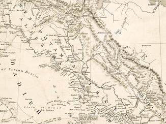
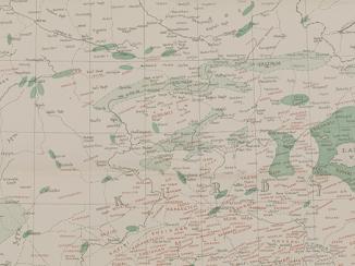
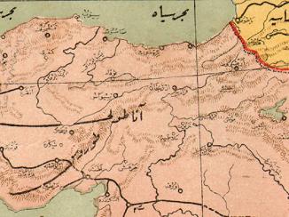
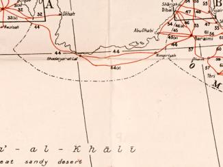
''Handbook of Mesopotamia. Vol. I. 1916''
IOR/L/MIL/17/15/41/1
377 items in this record
Search within this record
The record is made up of 1 volume (186 folios). It was created in 1916. It was written in English, Arabic, Persian, Turkish, Armenian, Kurdish and Syriac. The original is part of the British Library: India Office The department of the British Government to which the Government of India reported between 1858 and 1947. The successor to the Court of Directors. Records and Private Papers Documents collected in a private capacity. .
About this record
- Content
This volume is A Handbook of Mesopotamia, Volume I, General (Admiralty War Staff Intelligence Division: August 1916). It is an introductory volume containing matter of a general nature giving an account of conditions in Mesopotamia. The volume includes a note on official use, title page and ''Note''. There is a page of ''Contents'' and includes the following chapters and sections:
- Chapter 1: Boundaries and Physical Features;
- Chapter 2: Climate;
- Chapter 3: Minerals;
- Chapter 4: Fauna and Flora;
- Chapter 5: Hygiene;
- Chapter 6: History;
- Chapter 7: Inhabitants;
- Chapter 8: Religions;
- Chapter 9: Administration;
- Chapter 10: Irrigation of Irak Iraq;
- Chapter 11: Agriculture;
- Chapter 12: Commerce and Industry;
- Chapter 13: Currency, Weights and Measures;
- Chapter 14: Communication and Transport;
- Transliteration of Arabic, Persian and Turkish Names;
- Vocabularies;
- Index.
There is a List of Maps which includes:
- Map 1: Administrative Divisions and Chief Towns;
- Map 2: Racial Divisions;
- Map 3: Area Available for Irrigation.
- Extent and format
- 1 volume (186 folios)
- It is grouped into
- 1 imageRef: IOR/L/MIL/17/15/41/1, p 3611 imageRef: IOR/L/MIL/17/15/41/1, p 3631 imageRef: IOR/L/MIL/17/15/41/1, p 365
- Arrangement
The volume is arranged according to numbered chapters. There is a page of contents and an alphabetically arranged index at the end of the volume. A list of maps appears following the table of contents.
- Physical characteristics
Foliation: The foliation sequence commences at the first folio and terminates at the last folio; these numbers are written in pencil, are circled, and are located in the top right corner of the recto The front of a sheet of paper or leaf, often abbreviated to 'r'. side of each folio.
Pagination: The volume also contains an original printed pagination sequence.
- Written in
- English, Arabic, Persian, Turkish, Armenian, Kurdish and Syriac in Latin and Arabic script
- Type
- Archival file
Archive information for this record
- Original held at
- British Library: India Office The department of the British Government to which the Government of India reported between 1858 and 1947. The successor to the Court of Directors. Records and Private Papers Documents collected in a private capacity.
- Access conditions
Unrestricted
- Archive reference
- IOR/L/MIL/17/15/41/1
- Former external reference(s)
- I.D. 1128 H 44
- Date(s)
- 1916 (CE, Gregorian)
Access & Reference
History of this record
Related search terms
- Subjects
- Political informationMilitary intelligence
- Places
- Mesopotamia
- People & organisations
- Admiralty War Staff, Naval Intelligence Division
Use and share this record
- Share this record
- Cite this record in your research
''Handbook of Mesopotamia. Vol. I. 1916'', British Library: India Office Records and Private Papers, IOR/L/MIL/17/15/41/1, in Qatar Digital Library <https://www.qdl.qa/archive/81055/vdc_100023040722.0x000001> [accessed 2 January 2025]
- Link to this record
https://www.qdl.qa/en/archive/81055/vdc_100023040722.0x000001
- IIIF details
This record has a IIIF manifest available as follows. If you have a compatible viewer you can drag the icon to load it.https://www.qdl.qa/en/iiif/81055/vdc_100023040722.0x000001/manifestOpen in Universal viewerOpen in Mirador viewerMore options for embedding images
Copyright: How to use this content
- Reference
- IOR/L/MIL/17/15/41/1, p 361
- Title
- 'Map 1. Mesopotamia. Administrative Divisions and Chief Towns'
- Pages
- 361
- Author
- Ordnance Survey Office
- Usage terms
- Public Domain
- Reference
- IOR/L/MIL/17/15/41/1, p 363
- Title
- 'Map 2. Mesopotamia. Racial Divisions'
- Pages
- 363
- Author
- Ordnance Survey Office
- Usage terms
- Public Domain
- Reference
- IOR/L/MIL/17/15/41/1, p 365
- Title
- 'Map 3. Mesopotamia'
- Pages
- 365
- Author
- Ordnance Survey Office
- Usage terms
- Public Domain
- Reference
- IOR/L/MIL/17/15/41/1
- Title
- ''Handbook of Mesopotamia. Vol. I. 1916''
- Pages
- front, back, spine, edge, head, tail, front-i, i-r:i-v, 1:360, 362, 364, 366, ii-r, back-i
- Author
- East India Company, the Board of Control, the India Office, or other British Government Department
- Usage terms
- Open Government Licence


