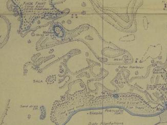
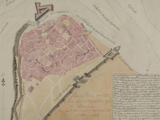
Overview
Introduction
The IOR Map Collection contains approximately 70,000 maps and geographical texts, dating from the seventeenth century until Indian independence in 1947. Following the closure of the India Office The department of the British Government to which the Government of India reported between 1858 and 1947. The successor to the Court of Directors. , the collection lay dormant until the 1960s, when efforts were made to collate and curate its disparate parts. Today the collection forms a major part of the British Library’s map holdings, and some of the material related to The Gulf and Arabian Peninsula is available on the QDL.
![Detail from ‘A map of the Oases of El Hasa’ [Al Ahsa, Saudi Arabia], author unknown, c. 1815. IOR/X/3214, f. 1r](https://www.qdl.qa/sites/default/files/styles/standard_content_image/public/ior_x_3214_0001_crop_web.jpg?itok=VbxjnTKz)
How mapping of the Arabian Peninsula and The Gulf found its way into the India Office collection
The India Office The department of the British Government to which the Government of India reported between 1858 and 1947. The successor to the Court of Directors. (IO), and its predecessor the East India Company (EIC), had significant associations with the Arabian Peninsula and Gulf region. Initially, mapping was required to support EIC shipping, which used Arabian and Gulf ports as supply points on voyages between Britain and India and vice versa. Later, as the EIC sought new commercial markets, mapping supported its expansion westwards into Persia (now Iran), Iraq, and the Arabian Peninsula. Ultimately, these markets developed into centres of British political influence and control. The ensuing tensions prompted the mobilisation of British and Indian armies, as well as a substantial new demand for maps geared towards potential military operations.
Scope of the collection
The collection houses both printed and manuscript resources of which maps, including hydrographic charts and atlases, are the most prevalent. The earliest relate largely to the files and correspondence of the EIC, and were later augmented by the EIC and IO’s own map publications. Mapping by external bodies, such as Survey of India, the War Office, and commercial publishers, constitutes another significant part of the collection. Some material is supported by expedition and travel logs, journals, and reports. Mapping is mostly topographical (i.e. portraying ground features in their correct geographical positions), though some is thematic (i.e. portraying spatial variations in particular characteristics, for example population density or annual rainfall). The material varies from small-scale maps depicting the entire Asian continent to detailed plans of individual towns or forts. Coverage is greatest over those regions geographically closest to pre-1947 India, notably Persia and Iraq, with representation decreasing further west.
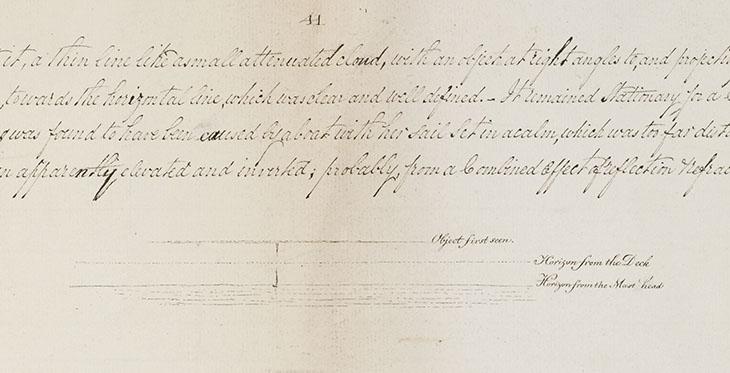
Detailed and accurate surveys, particularly of previously unmapped areas, were expensive ventures. As such, they were seldom undertaken except as a foundation for more substantial operations. Consequently, many mapping programmes coincided with periods of colonial expansion, military campaigns, or the implementation of administrative control.
Over the 350 years of the collection’s accrual, several factors combined to determine both the diversity and quantity of its holdings. The most significant are EIC/IO activities, resources, and the obtainability of mapping, all of which varied over the collection’s lifetime. The result is an identifiable chronological subdivision: from the EIC’s foundation in 1600 until the mid-eighteenth century, there is a noticeable dearth of material; over the next hundred years, topographical maps and hyrdrographic charts are pre-eminent; and from then until 1947 modern topographical series mapping are dominant.
Yet the situation is complicated by substantial disposals, evidenced by deletions from the catalogue. These may result from duplication, obsolescence, policy change, or simple lack of storage space. In these instances ‘disposal’ can be a somewhat alarmist word, as the material has typically been offered to other collections (e.g. the Trigonometrical Survey of India), or transferred internally to the IOR Library. One large tranche in 1924 is recorded as being relocated rather vaguely ‘To India’.
Organisation of the collection
Maps in the India Office The department of the British Government to which the Government of India reported between 1858 and 1947. The successor to the Court of Directors. Records are primarily found in the following categories: IOR/W, IOR/X, IOR/Y. The IOR/W category (not currently available on QDL) comprises maps transferred from other IO departments. The most significant for the Arabian Peninsula and The Gulf are those from the Political and Secret Department [of the India Office The department of the British Government to which the Government of India reported between 1858 and 1947. The successor to the Court of Directors. ] and the Aden Residency An office of the East India Company and, later, of the British Raj, established in the provinces and regions considered part of, or under the influence of, British India. [in modern Yemen]. This category also contains maps removed from departmental and correspondence files for conservation purposes. These were often tightly folded and prone to tear so are now more suitably stored flat in bespoke map cabinets.
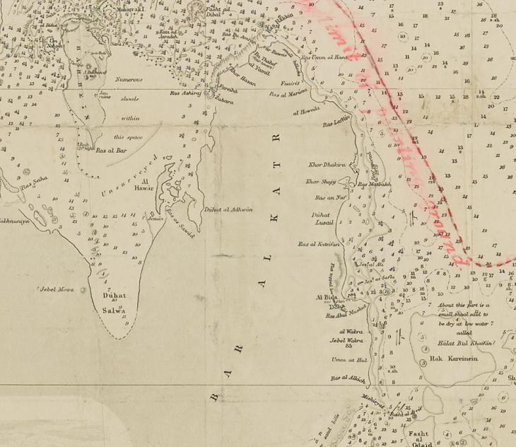
The IOR/X category comprises the IO Reference Collection maps. This was the original and formally designated IO map collection, and until 1947 was under the auspices of the IO Record Department. An 1878 edition of the collection catalogue forms the working basis for the arrangement of today’s collection, with shelfmarks based on the year of acquisition.
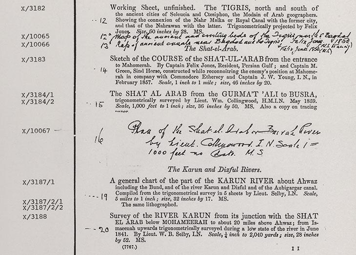
While logical, this arrangement is not always convenient. If a map series was assembled over a period of years, different sheets within it may have different X numbers. Thus a single series can assume multiple shelfmarks, catalogue entries, and storage locations.
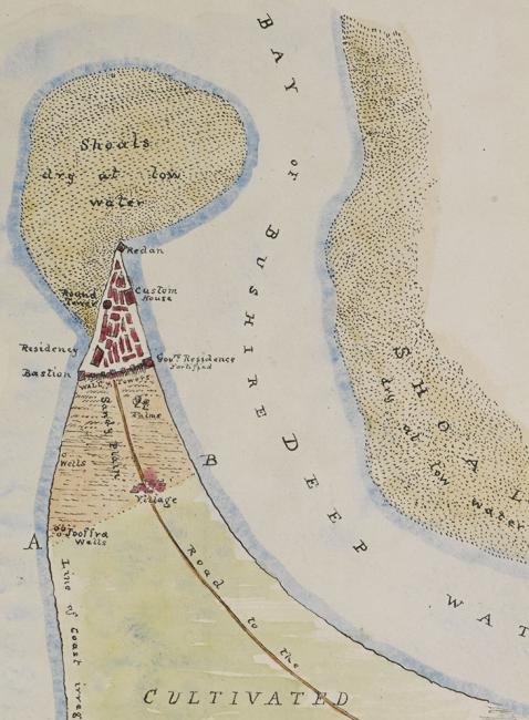
This problem was resolved through the creation of a notional IOR/Y category, in which each Y number represents an entire map series, irrespective of whether the component sheets are catalogued under different X numbers. For example, all sheets of the Survey of India ‘Quarter-Inch to a Mile’ series appear under Y/104, with the component sheets listed in the publisher’s intended order and cross-referenced to their original X numbers. These Y numbers are merely a catalogue mechanism for relating maps of a single series: no map in the collection physically bears a Y number. To date, only the Survey of India series have been incorporated in this way.
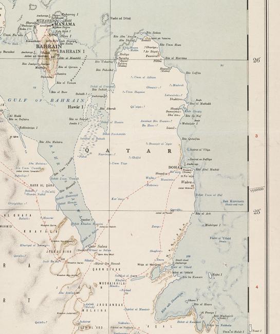
Much of the collection’s series mapping was produced by SoI prior to 1947. While most falls within the boundaries of pre-independence India, there are some notable exceptions. Primarily these are series extending westwards into Baluchistan, Persia, and Iraq, usually produced to support military operations by the Indian or British armies in the mid-nineteenth to early-twentieth centuries.
Beyond the IOR Map Collection
While the IOR Map Collection’s holdings relating to the Arabian Peninsula and The Gulf are substantial, they are by no means exhaustive. In addition to the resources available on the QDL, researchers can find the remainder of the collection at the British Library. Complementary holdings can also be found in the BL’s other map collections; in particular the Main Collection, the Indian Survey Collection, and the War Office Archive.
Acknowledgement
The author would like to thank Tom Harper for his invaluable advice.


