![‘PLAN showing Principal Ports in Persian Gulf with Town & Trade Routes served by each’ [‎239v] (3/4)](https://iiif.qdl.qa/iiif/images/81055/vdc_100000000112.0x000209/IOR_L_MIL_17_5_3283_0492.jp2/full/!1200,1200/0/default.jpg "‘PLAN showing Principal Ports in Persian Gulf with Town & Trade Routes served by each’ [‎239v] (3/4)")
‘PLAN showing Principal Ports in Persian Gulf with Town & Trade Routes served by each’ [239v] (3/4)
The record is made up of 1 map sheet. It was created in 20 Jun 1917. It was written in English. The original is part of the British Library: India Office The department of the British Government to which the Government of India reported between 1858 and 1947. The successor to the Court of Directors. Records and Private Papers Documents collected in a private capacity. .
Transcription
This transcription is created automatically. It may contain errors.
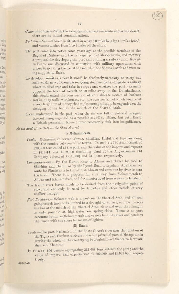
Communications. —With the exception of a caravan route across the desert,
there are no inland communications.
Port Facilities. —Koweit is situated in a bay 20 miles long by 10 miles broad,
and vessels anchor from 1 to 3 miles off the shore.
The port came into notice some years ago as the possible terminus of the
Baghdad Railway and the principal port of Mesopotamia, and recently
a proposal for developing the port and building a railway from Koweit
to Basra was discussed in connexion with military operations, with
a view to avoiding the bar at the mouth of the Shatt-el-Arab and increas
ing supplies to Basra.
To develop Koweit as a port it would be absolutely necessary to carry out
such works as would enable sea-going steamers to lie alongside a railway
wharf to discharge and take in cargo ; and whether the port was made
opposite the town of Koweit or 10 miles away in the Duhakathama,
this would entail the construction of an elaborate system of harbour
works, quay walls, warehouses, etc., the construction of which would cost
a very large sum of money that might more profitably be expended on the
dredging of the bar at the mouth of the Shatt-el-Arab.
I can understand in the past, when the air was full of political intrigue,
Koweit being regarded as a possible set-off to Basra, but with Basra
a British possession, Koweit must necessarily sink into insignificance.
At the head of the Gidf on the Shatt-el-Arab —
(i) Mohammerah.
Trade. Mohammerah serves Ahwaz, Shushtar, Dizful and Ispahan along
with the country between those towns. In 1910-11, 364 steam vessels of
328,000 tons called at the port, and the value of the imports and exports
in 1913-14 was £812,000 (including plant of the Anglo-Persian Oil
Company valued at £ 211 , 000 ) and £313,000, respectively.
Communications. —By the Karun river to Ahwaz and thence by road to
Shushtar and Dizful, or by the Lynch Road to Ispahan. An alternative
route for Shushtar is to tranship at Ahwaz and continue by river to near
the town. There is a proposal for a railway from Mohammerah to
Ahwaz and Khoramabad, and for a motor road from Ahwaz to Ispahan.
The Karun river leaves much to be desired fiom the navigation point ol
view, and can only be used by launches and other vessels of very
shallow draught.
Port Facilities. —Mohammerah is a port on the Shatt-el-Arab and all sea
going vessels have to be limited to a draught of 21 feet, in order to cross
the bar at the mouth of the Shatt-el-Arab river and even that draught
is only possible at high-water on spring tides. There is no port
accommodation at Mohammerah and vessels lie in the river and conduct
the trade with the shore by means of lighters.
(is) Basra.
Trade. The port is situated on the Shatt-el-Arab river near the junction of
the Tigris and Euphrates rivers and is the principal port of Mesopotamia
serving the whole of the country up to Baghdad and thence to Kerman-
shah via Khanikin.
In 1913-14 190 vessels aggregating 321,668 tons entered the port; and the
value of imports and exports was £3,899,000 and £1,939,000, respec
tively.
$S0(w)AD
About this item
- Content
The map shows railways, political borders, towns, population sizes, and British and Russian spheres of influence. It is part of George Buchanan’s report on the conservancy of the Shatt-el-Arab [Shatt al-Arab] of 20 June 1917.
- Extent and format
- 1 map sheet
- Area map covers
- Map loading...
- Scale
- Scale 1:3168000
- Scale designator
- Horizontal
- Orientation
- North
- Degree coordinates
- Top-left: 41° 20' 2.4" N, 37° 9' 19.08" E
Top-right: 41° 20' 2.4" N, 63° 28' 42.96" E
Bottom-left: 23° 40' 22.08" N, 37° 9' 19.08" E
Bottom-right: 23° 40' 22.08" N, 63° 28' 42.96" E - Physical characteristics
Materials: Printed on paper
Dimensions: 796 x 733mm
- Written in
- English in Latin script View the complete information for this record
Use and share this item
- Share this item
‘PLAN showing Principal Ports in Persian Gulf with Town & Trade Routes served by each’ [239v] (3/4), British Library: India Office Records and Private Papers, IOR/L/MIL/17/5/3283, f 239, in Qatar Digital Library <https://www.qdl.qa/archive/81055/vdc_100137829834.0x00005d> [accessed 17 July 2024]
https://www.qdl.qa/en/archive/81055/vdc_100137829834.0x00005d
Copy and paste the code below into your web page where you would like to embed the image.
<meta charset="utf-8"><a href="https://www.qdl.qa/en/archive/81055/vdc_100137829834.0x00005d">‘PLAN showing Principal Ports in Persian Gulf with Town & Trade Routes served by each’ [‎239v] (3/4)</a> <a href="https://www.qdl.qa/en/archive/81055/vdc_100137829834.0x00005d"> <img src="https://iiif.qdl.qa/iiif/images/81055/vdc_100000000112.0x000209/IOR_L_MIL_17_5_3283_0492.jp2/full/!280,240/0/default.jpg" alt="" /> </a>
This record has a IIIF manifest available as follows. If you have a compatible viewer you can drag the icon to load it.https://www.qdl.qa/en/iiif/81055/vdc_100000000112.0x000209/manifestOpen in Universal viewerOpen in Mirador viewerMore options for embedding images
Copyright: How to use this content
- Reference
- IOR/L/MIL/17/5/3283, f 239
- Title
- ‘PLAN showing Principal Ports in Persian Gulf with Town & Trade Routes served by each’
- Pages
- 239r, 239r:239v, 239v
- Author
- East India Company, the Board of Control, the India Office, or other British Government Department
- Usage terms
- Open Government Licence