![‘MOHAMMERAH BAR’ [‎235v] (3/4)](https://iiif.qdl.qa/iiif/images/81055/vdc_100000000112.0x000209/IOR_L_MIL_17_5_3283_0476.jp2/full/!1200,1200/0/default.jpg "‘MOHAMMERAH BAR’ [‎235v] (3/4)")
The record is made up of 1 map sheet. It was created in 20 Jun 1917. It was written in English. The original is part of the British Library: India Office The department of the British Government to which the Government of India reported between 1858 and 1947. The successor to the Court of Directors. Records and Private Papers Documents collected in a private capacity. .
Transcription
This transcription is created automatically. It may contain errors.
Report on the Conservancy of the 8hatt-el-Arab River from
the Port of Basra to the
Persian Gulf
The historical term used to describe the body of water between the Arabian Peninsula and Iran.
.
By Biver Conservancy is understood,—tlie preservation of a river in a fit state Definition,
for navigation ; the execution of all necessary works thereon including dredging,
training, marking, lighting, buoying and surveying, and the regulation of the traffic.
In the days of Turkish rule practically nothing was done to assist navigation
or trade, indeed, attempts to improve navigable waterways were discouraged if not
prohibited. Under these circumstances, there are no past improvements or attempts
at improvement to comment upon and the whole subject has to be dealt with
ah initio.
(2) It will be convenient to deal with the case under the following heads :— Heads of Report.
{a) General Description of the River.
(h) Physical Characteristics.
(c) Obstructions to Navigation.
(d) Removal of the Outer Bar.
(e) Lighting and Buoying. ,
{{) Pilotage.
{g) Financial.
(h) Conclusion.
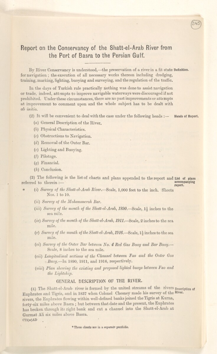
(3) The following is the list of charts and plans appended to the report and List of plans
referred to therein :— accompanying
report.
* (i) Survey of the Shatt-el-Arah River. —Scale, 1,000 feet to the inch. Sheets
Nos. 1 to 10 .
(ii) Survey of the Mohammerah Bar.
(Hi) Survey of the mouth of the Shatt-ei-Arab, 1890. —Scale, Ij inches to the
sea mile.
(iv) Survey of the mouth of the Shatt-el-Arab, 1911. —Scale, 2 inches to the sea
mile.
(v) Survey of the mouth of the Shatt-el-Arab, 1916. —Scale, 1 | inches to the sea
mile.
(vi) Survey of the Outer Bar betiveen No. 4 Red Gas Buoy and Bar Buoy .—
Scale, 8 inches to the sea mile.
(vii) Longitudinal sections of the Channel between Fao and the Outer Gas
Buoy. —In 1890, 1911, and 1916, respectively.
(viii) Flan shewing the existing and proposed lighted buoys between Fao and
the Lightship.
GENERAL DESCRIPTION OF THE RIVER.
( 4 ) The Shatt-el-Arab river is formed by the united streams of the rivers Description of
Euphrates and Tigris, and in 1837 when Colonel Chesney made his survey of the Riv3r -
rivers, the Euphrates flowing within well-defined banks joined the Tigris at Kurna,
forty-six miles above Basra ; but between that date and the present, the Euphrates
has broken through its right bank and cut a channel into the Shatt-el-Arab at
Gurmat Ali six miles above Basra.
C71(w)AD
* These charts are in a separate portfolio.
About this item
- Content
The map shows soundings Measurements of the depth of a body of water. and some buildings on shore at Mohammerah [Khorramshahr]. It is part of George Buchanan’s report on the conservancy of the Shatt-el-Arab [Shatt al-Arab] of 20 June 1917.
- Extent and format
- 1 map sheet
- Area map covers
- Map loading...
- Scale
- Scale 1:18228
- Scale designator
- Horizontal
- Orientation
- North
- Degree coordinates
- Top-left: 30° 25' 45.84" N, 48° 9' 39.96" E
Top-right: 30° 25' 45.84" N, 48° 11' 13.92" E
Bottom-left: 30° 23' 52.08" N, 48° 9' 39.96" E
Bottom-right: 30° 23' 52.08" N, 48° 11' 13.92" E - Physical characteristics
Materials: Printed on paper
Dimensions: 301 x 408mm
- Written in
- English in Latin script View the complete information for this record
Use and share this item
- Share this item
‘MOHAMMERAH BAR’ [235v] (3/4), British Library: India Office Records and Private Papers, IOR/L/MIL/17/5/3283, f 235, in Qatar Digital Library <https://www.qdl.qa/archive/81055/vdc_100137829834.0x00004d> [accessed 17 July 2024]
https://www.qdl.qa/en/archive/81055/vdc_100137829834.0x00004d
Copy and paste the code below into your web page where you would like to embed the image.
<meta charset="utf-8"><a href="https://www.qdl.qa/en/archive/81055/vdc_100137829834.0x00004d">‘MOHAMMERAH BAR’ [‎235v] (3/4)</a> <a href="https://www.qdl.qa/en/archive/81055/vdc_100137829834.0x00004d"> <img src="https://iiif.qdl.qa/iiif/images/81055/vdc_100000000112.0x000209/IOR_L_MIL_17_5_3283_0476.jp2/full/!280,240/0/default.jpg" alt="" /> </a>
This record has a IIIF manifest available as follows. If you have a compatible viewer you can drag the icon to load it.https://www.qdl.qa/en/iiif/81055/vdc_100000000112.0x000209/manifestOpen in Universal viewerOpen in Mirador viewerMore options for embedding images
Copyright: How to use this content
- Reference
- IOR/L/MIL/17/5/3283, f 235
- Title
- ‘MOHAMMERAH BAR’
- Pages
- 235r, 235r:235v, 235v
- Author
- East India Company, the Board of Control, the India Office, or other British Government Department
- Usage terms
- Open Government Licence