

‘The Oriental geography of Ebn Haukal, an Arabian traveller of the tenth century’ [30] (83/388)
The record is made up of 1 volume (327 pages). It was created in 1800. It was written in English and Arabic. The original is part of the British Library: Printed Collections.
Transcription
This transcription is created automatically. It may contain errors.
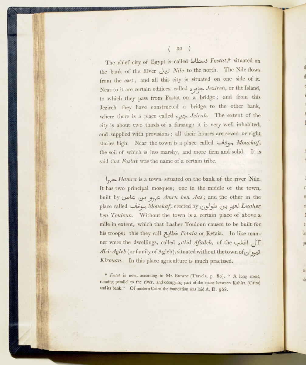
( 30 )
The chief city of Egypt is called J^liosKO Tosteite situated on
the bank of the River Nile to the north. The Nile flows
from the east; and all this city is situated on one side of it.
Near to it are certain edifices, called Jezireh, or the Island,
to which they pass from Fostat on a bridge ; and from this
Jezireh they have constructed a bridge to the other bank,
where there is a place called Jeirah. The extent of the
city is about two thirds of a farsang: it is very w^ell inhabited,
and supplied with provisions; all their houses are seven or eight
stories high. Near the tow^n is a place called ^ Mouekaf,
the soil of which is less marshy, and more firm and solid. It is
said that Fostat was the name of a certain tribe.
Hamra is a town situated on the bank of the river Nile.
It has two principal mosques; one in the middle of the town,
built by Amru hen Aas ; and the other in the
place called ^— *3^ Mouekaf, erected by ^Laaher
hen Touloun. Without the town is a certain place of above a
mile in extent, which that Laaher Touloun caused to be built for
his troops: this they call XjlLii Fetaia or Ketaia. In like man
ner were the dwellings, called Afadeh, of the ^jT
Al-i-Agleh (or family of Agleb), situated without the town of^j !j^o
Kirouan. In this place agriculture is much practised.
* Fostat is now, according to Mr. Browne (Travels, p. 8o), " A long street,
running parallel to the river, and occupying part of the space between Kahira (Cairo)
and its bank." Of modern Cairo the foundation was laid A. D. 968.
About this item
- Content
The Oriental geography of Ebn Haukal, an Arabian traveller of the tenth century , translated from the author’s own manuscript, and collated with one preserved at the Library of Eton College by Sir William Ouseley.
Publication details: Printed at the Oriental Press by Wilson & Co., Wild-Court, Lincoln’s Inn Fields, London, for T Cadell Junior and W Davies, Strand, London, 1800.
Physical description: One volume, initial Roman numeral pagination (i-xxxvi), 327 pages, fold-out map.
- Extent and format
- 1 volume (327 pages)
- Arrangement
This volume contains a table of contents giving chapter headings and page references. There is an alphabetic index at the back of the volume.
- Physical characteristics
Dimensions: 280mm x 220mm.
- Written in
- English and Arabic in Latin and Arabic script View the complete information for this record
Use and share this item
- Share this item
‘The Oriental geography of Ebn Haukal, an Arabian traveller of the tenth century’ [30] (83/388), British Library: Printed Collections, 306.37.C.18, in Qatar Digital Library <https://www.qdl.qa/archive/81055/vdc_100023664347.0x000054> [accessed 19 November 2026]
https://www.qdl.qa/en/archive/81055/vdc_100023664347.0x000054
Copy and paste the code below into your web page where you would like to embed the image.
<meta charset="utf-8"><a href="https://www.qdl.qa/en/archive/81055/vdc_100023664347.0x000054">‘The Oriental geography of Ebn Haukal, an Arabian traveller of the tenth century’ [‎30] (83/388)</a> <a href="https://www.qdl.qa/en/archive/81055/vdc_100023664347.0x000054"> <img src="https://iiif.qdl.qa/iiif/images/81055/vdc_100023513074.0x000001/306.37.C.18_0085.jp2/full/!280,240/0/default.jpg" alt="" /> </a>
This record has a IIIF manifest available as follows. If you have a compatible viewer you can drag the icon to load it.https://www.qdl.qa/en/iiif/81055/vdc_100023513074.0x000001/manifestOpen in Universal viewerOpen in Mirador viewerMore options for embedding images
Copyright: How to use this content
- Reference
- 306.37.C.18
- Title
- ‘The Oriental geography of Ebn Haukal, an Arabian traveller of the tenth century’
- Pages
- front, back, spine, edge, head, tail, front-i, i-r:iv-v, 1:38, 1:328, v-r:vii-v, back-i
- Author
- Ouseley, Sir William
- Usage terms
- Public Domain